
The authors propose the development of a TIN 2.0 surface, which allows digital terrain surfaces to be modelled based on smart objects.
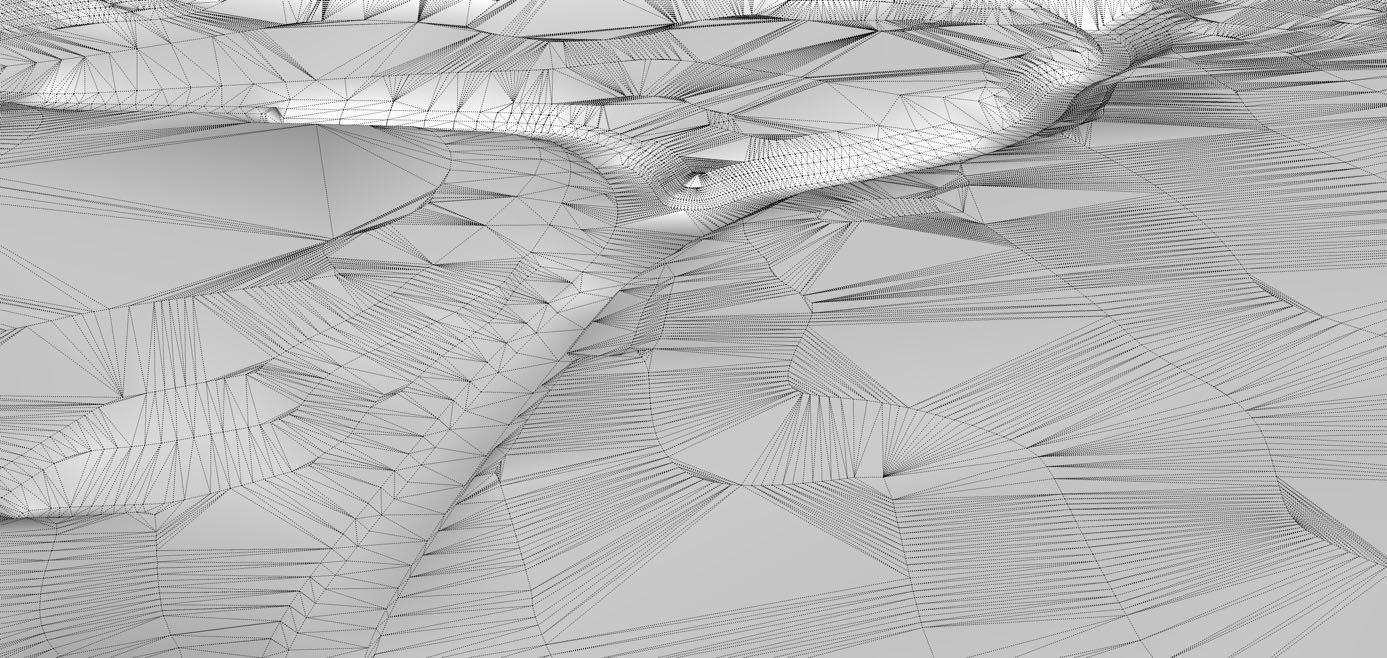
Triangulated Irregular Networks (TIN) surfaces are the most suitable for digital terrain modeling. This has to do with the fact that they allow variation in the density of points and a more accurate representation of terrain forms. However, this three-dimensional irregular structure also has been restraining the use of state-of-the-art design tools and methods. Two examples are the limited integration into the Building Information Models (BIM) systems and difficult use of free form design tools in TIN surfaces.
These proposed methods will allow for digital terrain surfaces to be modelled through a set of smart objects, opening possibilities for new ways of modelling the terrain form, through intelligent 3d lines, parametric design, and even free form manipulation. These smart objects address the two main constraints of digital terrain modelling, earth gravity and the required continuity of terrain surfaces. The proposed digital design methods and tools allow a full integration of digital terrain surfaces into the Building Information Models platforms.
This invention can be integrated in existing software, having potential use for Landscape Architects, Civil Engineers and Architects, considering that it will allow the use of state-of-the-art digital tools to be used to model the complex terrain shapes in their projects.


